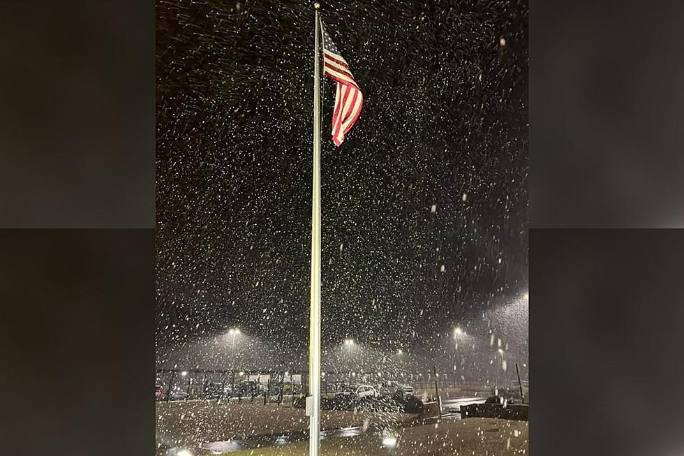
Is Snow Really Coming to Tuscaloosa Friday?
The threat of snow has everyone talking about Friday night it seems and here is the latest from both James Spann and Bobby Best.
ARCTIC AIR ARRIVES FRIDAY: The next phase of the big chill arrives at the end of the week; most North/Central Alabama communities will hold in the 30s all day with a cloudy sky. And, with an approaching upper trough and developing low in the northern Gulf, the stage is set for some winter weather issues for the Deep South says our man, James Spann.
As heard on the Wild Bill Show from Bobby Best....
"If West, Alabama does see any Winter precipitation Friday/Saturday, I think it will start sometime Friday around or just before lunch through the afternoon, Friday night, and maybe into very early Saturday morning... Primary accumulations I predict will be North of a Vernon to Fayette to Jasper to Oneonta line... However, elevated roadways and grassy areas South to an Aliceville to Tuscaloosa to Birmingham line are possible by late Friday afternoon and early evening!
If we have any travel problems, they would likely begin during the afternoon drive time Friday, North of Tuscaloosa/Northport and then move South to include the Tuscaloosa/Northport Metro area Friday late afternoon and early evening and then of coarse Saturday morning, especially on elevated roadways in the Metro area! Snow accumulation predictions on the EURO model are calling for maybe enough snow accumulations to maybe cause a few travel problems, in West, Alabama especially North of that Vernon to Fayette to Oneonta line and on bridges and elevated roadways from Pickens, Tuscaloosa, and Jefferson Counties North... Up to 1 inch is possible in Pickens and Tuscaloosa Counties and up to 1 & 1/2 inches in Lamar and Fayette Counties, in our coverage area...95.3 The Bear!"
For more update listen to the Wild Bill Show today at 4:30, 5:30 & 6:30pm!
More From 95.3 The Bear


![[Pictures] Alabama Kicks off New Year In a Winter Wonderland](http://townsquare.media/site/962/files/2022/01/attachment-271313850_10223388954365375_6280379482093620134_n.jpg?w=980&q=75)