Severe Weather Possible Tuesday & Wednesday for Alabama
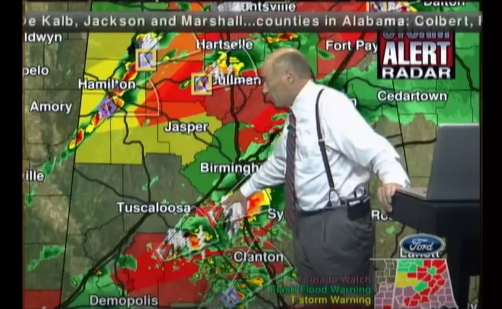
SEVERE WEATHER POTENTIAL TOMORROW/WEDNESDAY: SPC maintains the standard “slight risk” of severe storms over North and Central Alabama, with a “marginal risk” for Tuscaloosa. Stay tuned to LIVE & LOCAL Radio on 95.3 The Bear!
TIMING: Model guidance is faster; looks like the main window now for strong to severe storms will come from 9:00 a.m. until 6:00 p.m Tuesday.
THREATS: The main issue will be strong, gusty thunderstorm winds and hail. The chance of a small tornado is small, but not zero.
RAIN AMOUNTS: Rain amounts should be around 1/2 inch, with isolated amounts to 1 inch, not enough for flooding issues.
WEDNESDAY: The surface front won’t pass through Alabama until Wednesday evening, and a few strong storms are still possible. SPC has all 67 Alabama counties in a “marginal risk”…A few showers and storms on Wednesday; some of the heavier storms could produce strong gusty winds and some hail, but the overall severe weather threat is fairly low. Additional rain amounts Wednesday should be 1/2 inch or less for most communities. We should note Wednesday should be a mild day with a high in the 70-75 degree range.
THURSDAY/FRIDAY: The weather turns sharply colder on these days. The sky clears Thursday with a gusty north breeze, the high will be only in the low 50s, and many places north of Birmingham won’t get out of the 40s. Then, we drop below freezing early Friday with lows in the 25-30 degree range. Friday will be sunny and cool with a high in the mid 50s. James Spann says stay weather alert Tuesday & Wednesday with 95.3 The Bear!
More From 95.3 The Bear