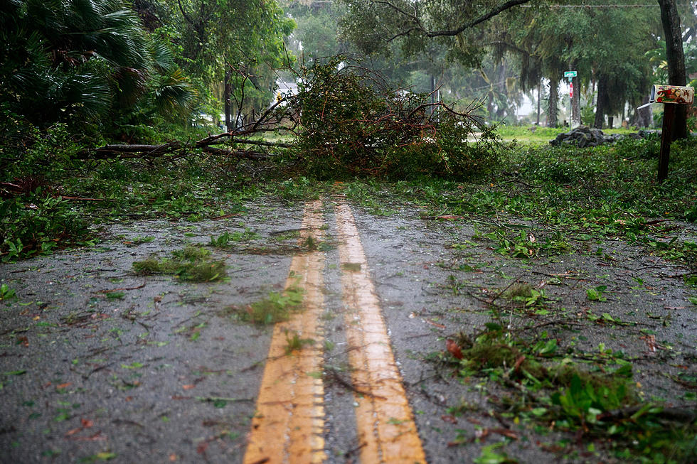
Tornadoes, Damaging Winds Possible in Tuscaloosa, Alabama Today and Tomorrow
A significant severe weather event is poised to impact West Alabama Friday and Saturday.

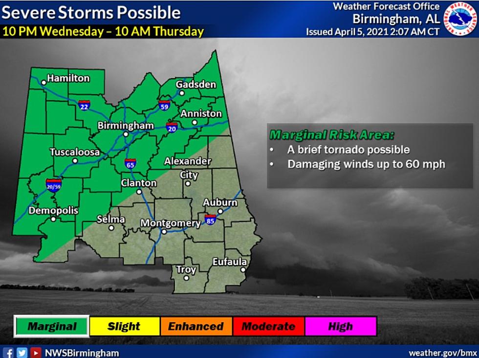
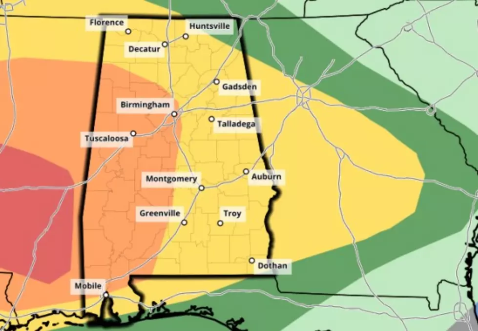
The National Weather Service believes severe storms will be possible from 10 a.m. today through 11 p.m. tonight; these storms could produce damaging winds and large hail. More storms are possible in the early morning hours tomorrow, and these storms could produce tornadoes, damaging winds of 70 miles an hour, and large hail.
ABC 33/40 and Townsquare Media Tuscaloosa Chief Meteorologist James Spann explains the potential impact of these storms on alabamawx.com:
The main concern is the potential for damaging straight line winds with the lines and clusters of storms that pass through. Some hail is also possible, and a tornado or two can’t be ruled out, especially south of I-20.
Be sure you have a way to receive weather warnings, especially during the overnight hours. For a more in-depth look at the forecast, check out the latest WeatherXtreme video below.
Townsquare Media Tuscaloosa's Operation Storm Watch is brought to you by Safe-T Shelter. Visit their website here to see their selection of residential and commercial safe rooms and storm shelters. To contact a Safe-T Shelter representative, click here to visit their Facebook page.
Check out the latest radar models here:
If a tornado warning is issued in our area, Townsquare Media Tuscaloosa Operation Storm Watch will provide you with live and local team coverage, including wall-to-wall weather with James Spann.
To view the latest weather updates and information, click here.
TIPS: Here’s how you can prepare for power outages
KEEP READING: What to do after a tornado strikes
KEEP READING: Get answers to 51 of the most frequently asked weather questions...
More From 95.3 The Bear