Tomorrow will be a much different day than today, as it will be sharply colder. Rain is pushing through the area and the temps will be falling down to freezing, setting up the threat for icy travels on Thursday.
Cold weather is headed back to the Tuscaloosa area on Thursday with the threat of freezing rain. A Winter Storm Watch has been issued for a part of West Alabama due to the possibility of significant icing.
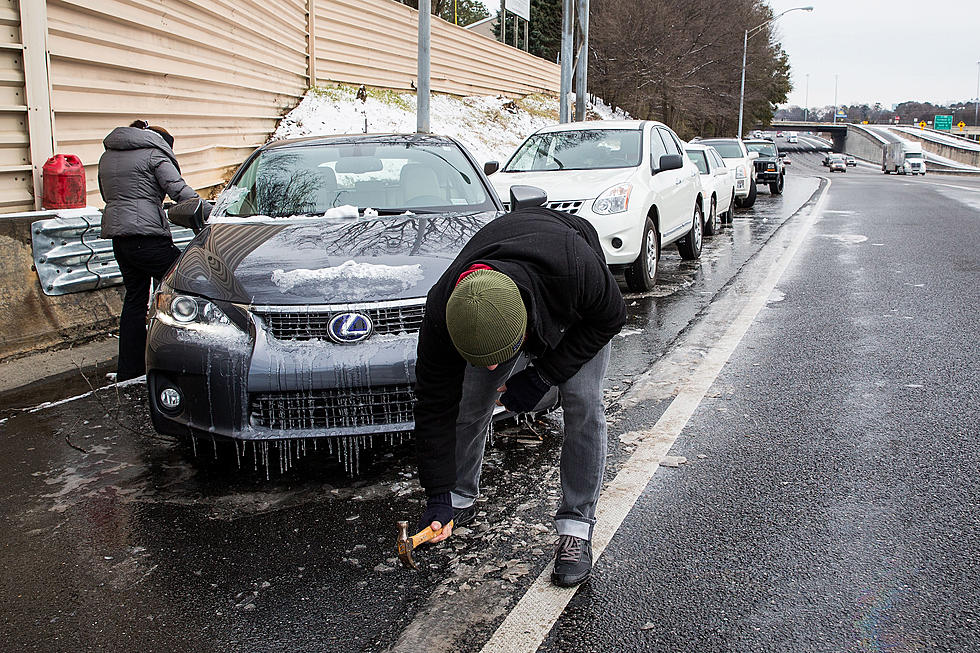
Another round of winter weather is set to impact Alabama Wednesday and Thursday; West Alabama could be significantly impacted by freezing rain and sleet.
Across the area today there was significant difference in the amount of snow received, if any in some spots. It's not surprising to see the schools in the areas hit the hardest deciding to keep the doors closed on Thursday.
Schools in the area have decided to not take any chances and call off classes due to the threat for significant snow and travel hazards. Here's the list of schools closed on Wednesday.
The likelihood of a winter storm hitting the area on Wednesday has gone from a possibility to something that is now expected to happen. The National Weather Service Birmingham has elevated our watch to a full blown Winter Storm Warning. This alert is from 9am Wednesday until midnight.
The National Weather Service's latest forecast suggests Tuscaloosa could see up to FOUR inches of snow tomorrow! Are you ready for some serious winter weather? Check out our list of preparation tips to help you and your family enjoy a stress-free snow day!
More winter weather threats to start the week around Tuscaloosa and West Alabama. We're under a Winter Weather Advisory tonight. Also active is a Winter Storm Watch for Wednesday, where we could possibly see significant snow accumulation.
![We Could See Snow in West Alabama This Weekend [VIDEO]](http://townsquare.media/site/530/files/2016/01/image4.png?w=980&q=75)


![Winter Storm Possible Wednesday Night and Thursday [VIDEO]](http://townsquare.media/site/530/files/2015/03/image5.gif?w=980&q=75)

![Get Ready for Winter Weather with Our Snow Day Prep Tips [VIDEO]](http://townsquare.media/site/530/files/2015/02/RS3872_166620448.jpg?w=980&q=75)
