Several Days of Possible Severe Weather for West, Central Alabama
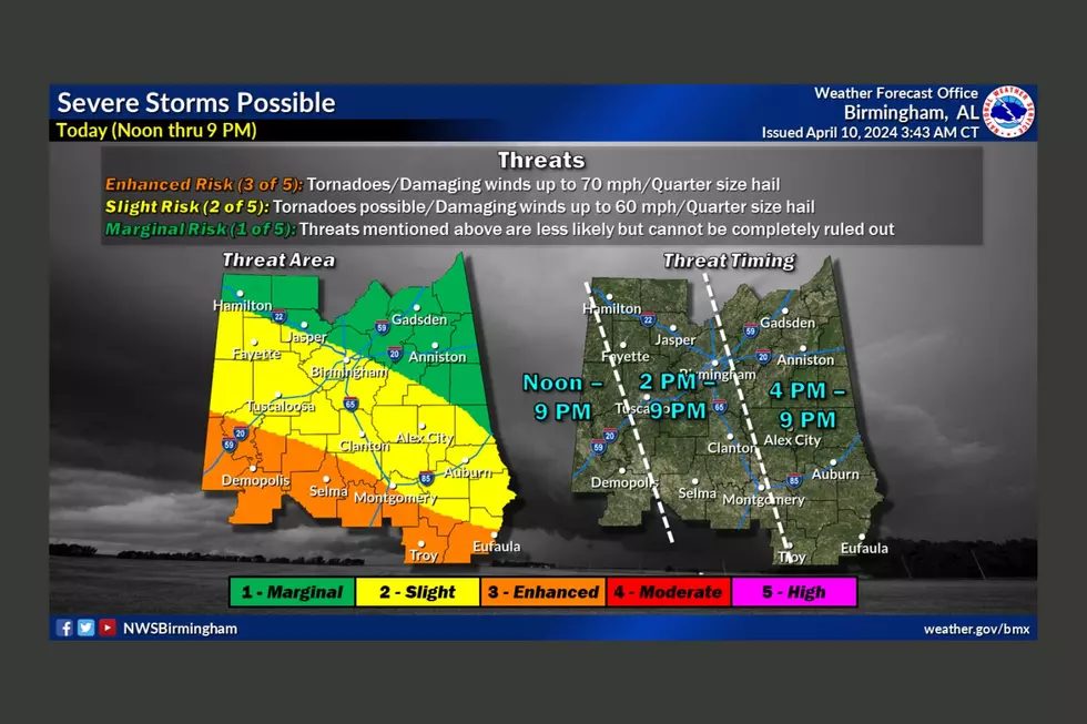
Weather-wise there is a lot to pay attention to this week. There is the potential for severe weather Tuesday, Wednesday, and Thursday. A “marginal risk” level is in place for all three days and we are closely monitoring these weather scenarios.
Tuesday
For Tuesday, May 24, James Spann, ABC 33/40, and Townsquare Media Tuscaloosa Chief Meteorologist commented that a “very moist, tropical airmass continues to cover the Deep South today, and we expect occasional showers and thunderstorms with a high between 77 and 82 degrees. Stronger storms this afternoon could produce some hail and gusty winds; SPC maintains a "marginal risk" (level 1/5) of severe thunderstorms for the southern 2/3 of the state for this potential.”

The National Weather Service in Birmingham said this covers “most of Central Alabama, generally from Lamar County east to Cleburne County and points south.”
When:
1 pm this afternoon to 9 pm tonight
Threats:
Isolated damaging winds up to 60 mph
Large hail
Unsettled Weather Outlook for Wednesday & Thursday
Spann said that we should “look for numerous showers and thunderstorms on both days. There will be breaks in the rain, and the sun could pop out at times, but this will be a wet two-day period. The potential for hail and gusty winds will persist with heavier thunderstorms... SPC has areas from Birmingham north and west in a "marginal risk" tomorrow, and basically all of the state in a "marginal risk" Thursday. There will be some shear involved Thursday, so the chance of a tornado is not zero, but still very low.
National Weather Service in Birmingham Highlights
Severe storms possible Wednesday:
Another storm system will bring the risk of strong to severe storms Wednesday afternoon and evening across the northwest half of Central Alabama with risks for damaging winds to 60 mph and large hail.
Severe storms possible Thursday:
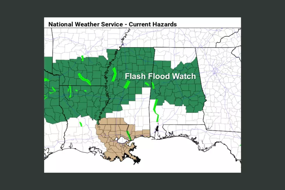
A storm system will bring the risk of damaging winds, large hail, and limited potential for a tornado. In addition, localized flooding could result due to heavy downpours with slow storm motions expected.
(Source) For more from the National Weather Service Birmingham, click here. Click here to follow the Facebook Page for James Spann.
Peek Inside This Massive Orange Beach, Alabama Estate on Ono Harbor
Step Inside Eutaw, Alabama’s Most Expensive Historic Estate
This Alabama Home Features Spectacular Views of Wheeler Lake
Rare Island Home Showcases Panoramic Views of Alabama’s Guntersville Lake
More From 95.3 The Bear
