Flood Watch Continues Through Late Thursday Night
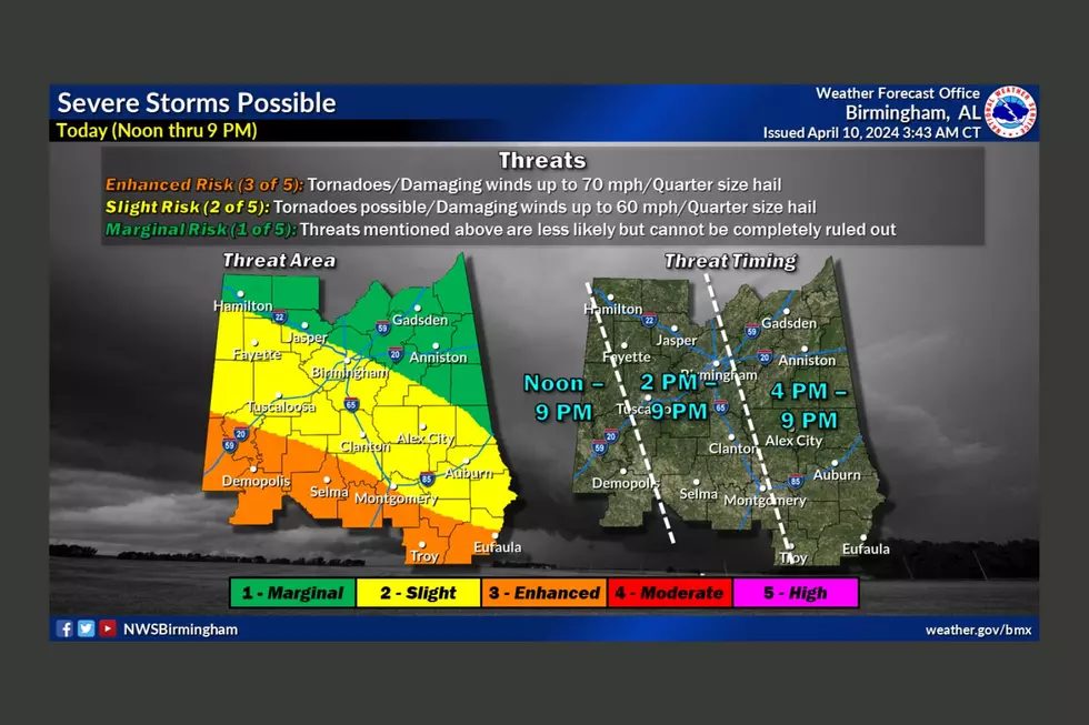
Heavy rainfall is in the forecast for the week, and the National Weather Service in Birmingham has issued a Flood Watch for much of our listening area.
The text of the Flood Watch is below:
...FLOOD WATCH REMAINS IN EFFECT FROM NOON CST TODAY THROUGH LATE
THURSDAY NIGHT...

The Flood Watch continues for

* Portions of central Alabama, northeast Alabama, northwest
  Alabama, and west central Alabama, including the following
  areas, in central Alabama, Blount, Jefferson, St. Clair, and
  Walker. In northeast Alabama, Cherokee and Etowah. In
  northwest Alabama, Marion and Winston. In west central
  Alabama, Fayette, Lamar, Pickens, and Tuscaloosa.

* From this afternoon through late Thursday night

* Multiple rounds of heavy rainfall are expected starting
  Tuesday and continuing through the end of the week for
  portions of north Central Alabama. Surface soil conditions are
  already or will become saturated, and much of this rainfall
  will runoff, filling low lying areas, ditches, and creeks.
  Local rivers and streams are also expected to rise due to
  excessive rainfall locally and across upstream river basins.

* Those with interests in flood prone or low lying areas, and
  along local rivers in north and west Central Alabama, should
  be ready to take action if water levels rise.

PRECAUTIONARY/PREPAREDNESS ACTIONS...

A Flood Watch means there is a potential for flooding based on
current forecasts.

You should monitor later forecasts and be alert for possible
Flood Warnings. Those living in areas prone to flooding should be
prepared to take action should flooding develop.
More From 95.3 The Bear


