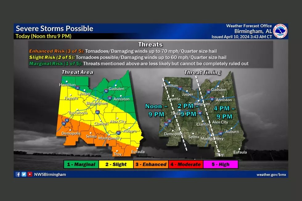
UPDATE: Significant and Enhanced Threats of Severe Weather Tuesday
A report from Alabama Emergency Management Agency warns of an enhanced weather threat for our listening area Tuesday afternoon and evening.
The most significant risk is along and south of a line from Aliceville to Duncanville to Clanton to Alex City late Tuesday afternoon through early Wednesday morning. They're also warning of an enhanced risk of severe weather for the Northern two-thirds of Tuscaloosa and Pickens County northward.
Other risks include:
- A Surface low rapidly deepens on Tuesday as it tracks across northern Mississippi and into western Tennessee.
- A squall line will track eastward across central Alabama Tuesday night.
- Models are in good agreement leading to a higher confidence.
- All modes of severe weather possible: Damaging straight-line winds, tornadoes, large hail. Best chances for severe in the southern counties, but high chances all the way up to Birmingham.
- Strong gusty winds not associated with thunderstorms possible Tuesday afternoon and night through Wednesday morning.
Areas in the path of the storm could expect: damaging straight-line winds, strong long-track tornadoes, quarter to golf ball sized hail, 1.5 to 3.5 inches of rain fall expected today through Wednesday, which could soften the ground and increase the number of downed trees from the expected high winds.
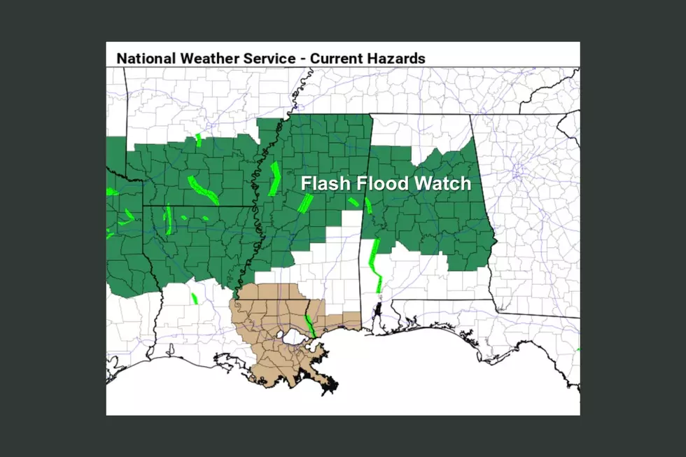
Locally heavy rainfall but no major flooding issues expected. Snow flurries possible Wednesday night after passage of cold front. No accumulation expected.
More From 95.3 The Bear