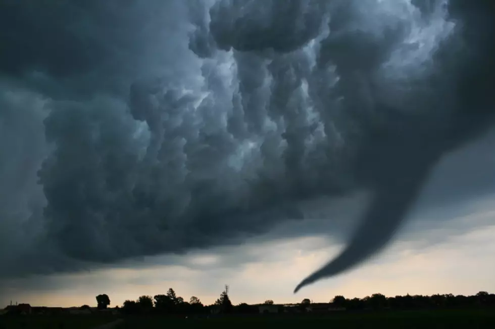
Severe Storms, Tornadoes Possible in Alabama This Afternoon and Evening
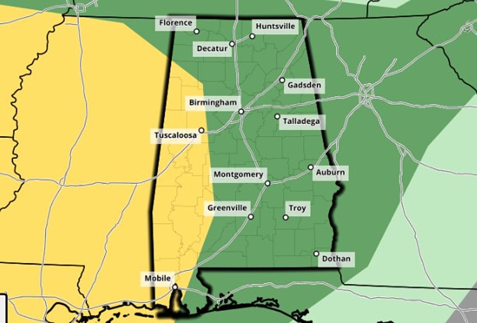
Severe weather is possible throughout the state today, with an enhanced risk in far northwest Alabama. The National Weather Service in Birmingham forecasts storms as early as 3 p.m. in west Alabama, and storms could continue to impact our listening area into the overnight hours.
The City of Tuscaloosa and points eastward are under a slight risk area for today's storms; threat's include damaging winds of up to 60 MPH, quarter size hail, and tornadoes. The NWS has placed the far northwestern corner of the state (west of a line from Huntsville to Carbon Hill to Gordo) under an elevated risk area, and threats here include damaging winds of up to 70 MPH, golf ball size hail, and tornadoes.
We'll continue to monitor this forecast and bring you updates as they are made available, and if a warning is issued in your area, you can depend on us to keep you and your family safe.
More From 95.3 The Bear