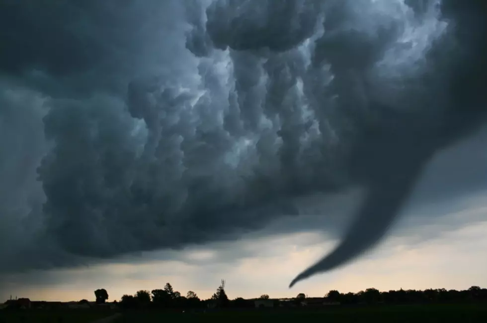
Severe Storms Likely Today, Tomorrow
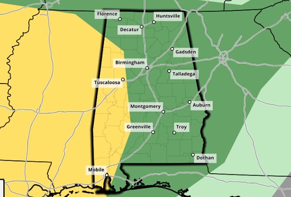
Heads up, Tuscaloosa: severe storms are possible today and tomorrow. The National Weather Service in Birmingham has placed most of the state of Alabama under a 'limited' risk area for round one of these storms; threats include tornadoes, damaging straight-line winds, and quarter-size hail. West Alabama could see storms as early as 11 a.m. today, and the first round of storms should be out of our listening area by 3 p.m.
Round two of these storms is currently forecast to impact our area tomorrow afternoon and into the evening hours. Damaging winds, isolated tornadoes, and large hail are all possible. The NWS has placed most of the state under a limited risk area for this round of storms; however, portions of our listening area in the southwest corner of the state have been excluded.
We'll have more information on the timing of these storms as it becomes available. Remember to stay weather alert today and tomorrow!
More From 95.3 The Bear