
Winter Storm Watch in Effect for South Alabama
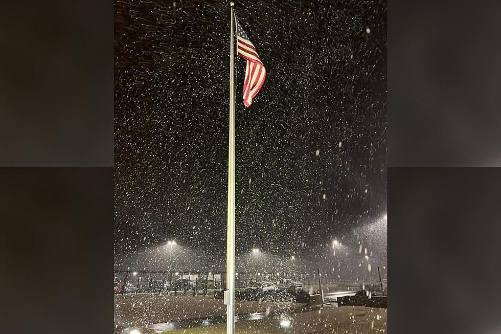
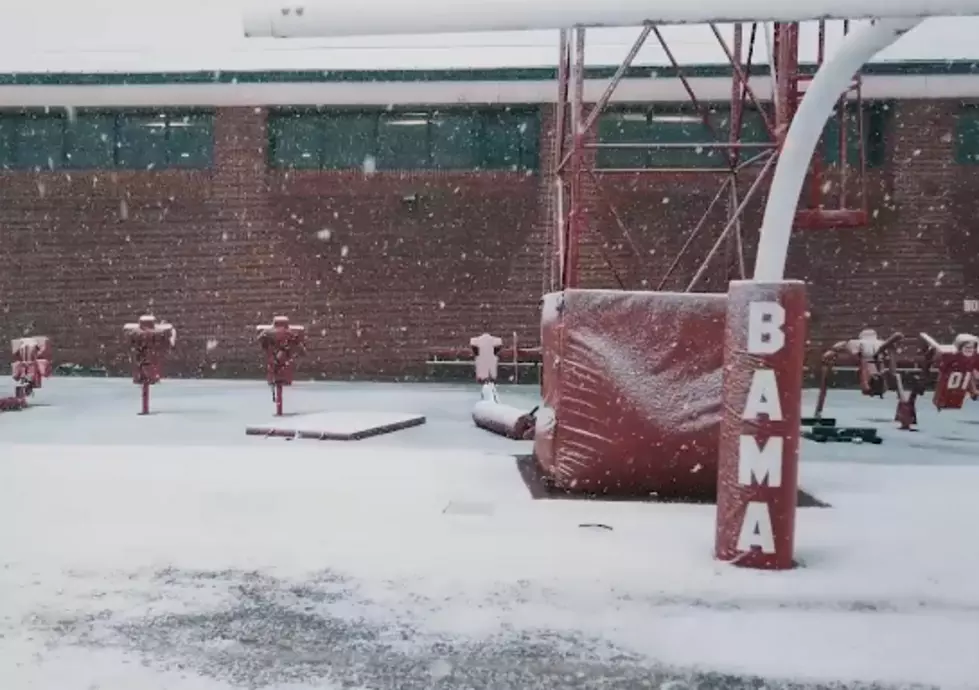
Another cold front is making its way in to Alabama, bringing arctic temps and a chance for snow in the Deep South.The latest forecast calls for rapidly falling temperatures in West Alabama. Tuscaloosa will drop to 22 degrees tonight, and tomorrow's high is only 30 degrees and a 17 degree low will make for a frigid night. The National Weather Service forecasts a 30% chance of snow Tuesday and a 40% chance of snow Tuesday night for West Alabama; little accumulation is expected. Wednesday we'll warm up to a high of 34, but the low will dip down to just 16 Wednesday night.
The National Weather Service in Birmingham has issued a Winter Storm Watch for south Alabama in effect through late Tuesday night. Snowfall accumulations of two inches or more or possible along with freezing rain and sleet. Counties impacted by the Winter Storm Warning include Marengo, Clay, Randolph, Perry, Chilton, Coosa, Tallapoosa, Elmore, Bullock, Russell, Chambers, Dallas, Autauga, Lowndes, Lee, Macon, Montgomery, and Barbour.
Frigid temps can pose numerous problems. Check out the graphic from the National Weather Service below to get prepared for this latest bout of chilly weather.
More From 95.3 The Bear
![[Pictures] Alabama Kicks off New Year In a Winter Wonderland](http://townsquare.media/site/962/files/2022/01/attachment-271313850_10223388954365375_6280379482093620134_n.jpg?w=980&q=75)


![Snowstorm Possible in Tuscaloosa Tuesday [VIDEO]](http://townsquare.media/site/530/files/2019/01/Tuesday-Snow.png?w=980&q=75)
![Snow Falls in East Tuscaloosa and Cottondale [VIDEO]](http://townsquare.media/site/530/files/2017/01/Snow-Bird.jpg?w=980&q=75)

