
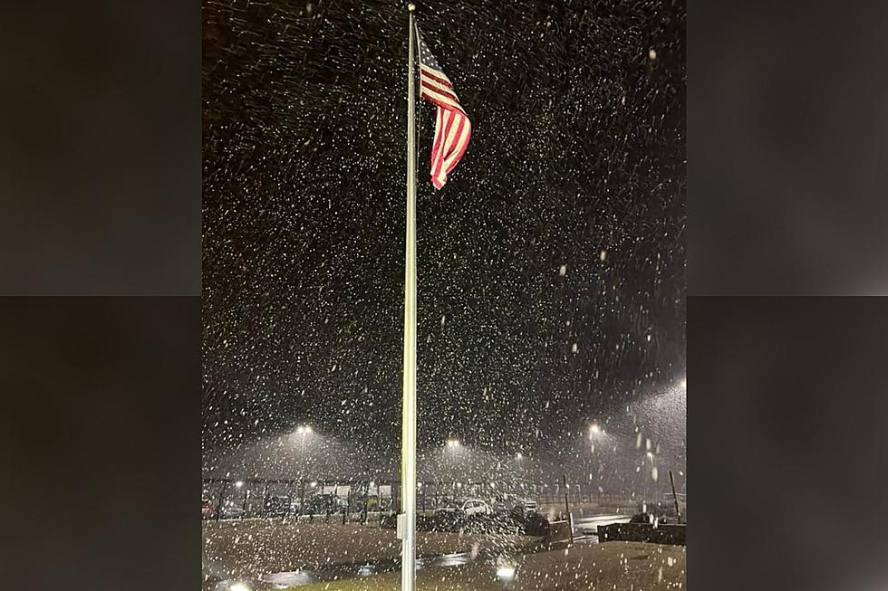
Winter Storm Watch Upgraded to Winter Storm Advisory
The National Weather Service in Birmingham has now issued a Winter Storm Advisory in advance of a system that could bring snow and ice accumulations to Tuscaloosa. The NWS Birmingham posted the following update on their official Facebook page this morning:
At this time, we still believe a wintry mix will occur generally along and north of I-20, with mostly rain to the south. Due to the slight southward shift in precipitation, we have decided to lower snow/ice accumulations a bit. The attched images show the updated accumulation forecasts. Please keep in mind that these numbers could change later today as new information becomes available.
Based on the updated accumulations, we have upgraded the Winter Storm Watch to a Winter Weather Advisory for now. Our current forecast totals remain below Winter Storm Warning criteria at this time. However, this Advisory could be upgraded to a Warning later today if conditions change.
The following graphs depict current ice and snow accumulation forecasts.
ABc 33/40 Chief Meteorologist James Spann has been tracking the trajectory of the approaching winter storm. James posted the following on alabamawx.com, the official ABC 33/40 Weather Blog, this morning:
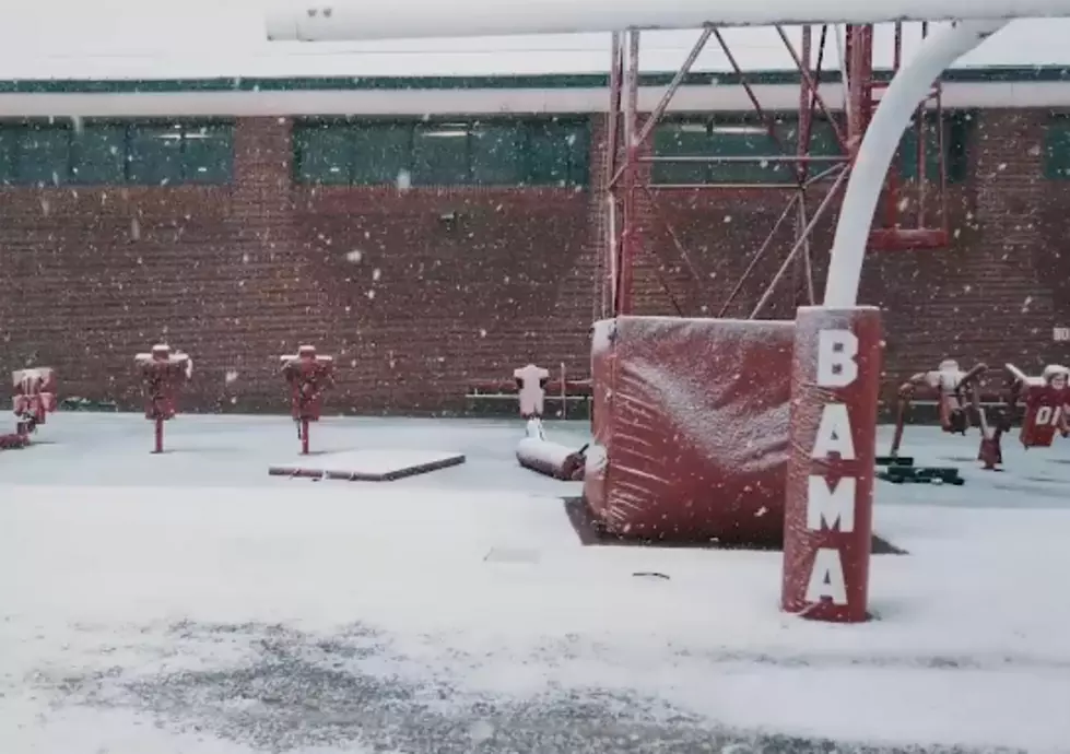
TIMING: We expect no travel issues during the day today, and no travel issues tonight through midnight. The core potential for bridge/overpass icing is from 2:00 a.m. until 11:00 a.m. tomorrow, although isolated icy patches could linger past 11:00 in some parts of North Alabama. Temperatures will rise above freezing in most places by mid-morning.
PRECIPITATION TYPE: The best chance of snow is north of Birmingham, especially along the U.S. 278 corridor (Hamilton to Cullman to Gadsden). Along I-20, the main threat is from sleet and freezing rain (freezing rain is rain in liquid form that falls with surface temperatures are at or below 32 degrees).
PRECIPITATION AMOUNT: The models have trended drier over the past 12 hours, and that is a very good thing. One reason the NWS issued a “winter weather advisory” instead of a “winter storm warning”. Some of the better mesoscale models are actually showing very little snow accumulation now for North Alabama, but I do think one inch of snow is possible near U.S. 278. Maybe two inches in isolated spots.
The biggest threat is from freezing rain. Up to 1/4 inch of ice is possible, and this is significant.
IMPACT: Bridges and overpasses will become icy early tomorrow where temperatures drop to the freezing mark, and that is possible as far south as I-20 leading to hazardous driving conditions. Many of the road surfaces will remain wet (thankfully we had a very mild day yesterday), but icy spots are very possible.
If there are places with 1/4″ of ice, then scattered power outages are possible due to falling tree limbs and branches. For now I don’t expect widespread, or especially long lasting power outages, but if the freezing rain is heavier than forecast, that will change.
UNCERTAINTY: The NWS “ice accumulation” map has the magic blue line, where icing begins, right at Tuscaloosa, Birmingham, and Anniston.Errors in the 30-40 mile range are possible here, meaning the larger cities of Birmingham, Tuscaloosa, and Anniston could get away with just a cold, rainy day with no ice. Or, there could be significant bridge icing tomorrow morning very very hazardous driving conditions. As a course of least regret, you pretty much have to plan on freezing rain and bridge icing, and hope you get away with just a cold rain in these places.
We will work to keep you updated with pertinent information and school or business closings as the winter storm approaches.
More From 95.3 The Bear
![[Pictures] Alabama Kicks off New Year In a Winter Wonderland](http://townsquare.media/site/962/files/2022/01/attachment-271313850_10223388954365375_6280379482093620134_n.jpg?w=980&q=75)


![Snowstorm Possible in Tuscaloosa Tuesday [VIDEO]](http://townsquare.media/site/530/files/2019/01/Tuesday-Snow.png?w=980&q=75)
![Snow Falls in East Tuscaloosa and Cottondale [VIDEO]](http://townsquare.media/site/530/files/2017/01/Snow-Bird.jpg?w=980&q=75)

