![Snow Chances in Alabama on Friday [VIDEO]](http://townsquare.media/site/532/files/2016/01/alwx.jpg?w=630&h=420&zc=1&s=0&a=t&q=89&w=980&q=75)
Snow Chances in Alabama on Friday [VIDEO]
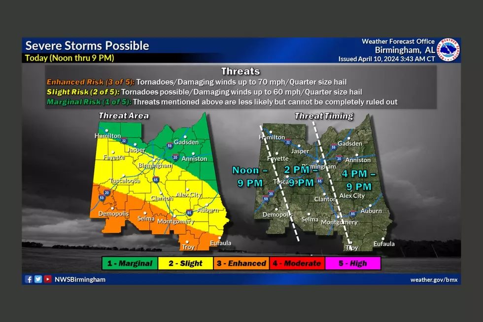
All eyes are on the impending weather, both Thursday and Friday in and around Tuscaloosa.
Townsquare Media Sever Weather Expert Alex Puckett warns that it may not be as bad as first expected. Tomorrow, scattered spots will see anywhere from a dusting to about an inch of snow, while some spots won't see any accumulations. Further north, more widespread accumulations will occur.
On his weather blog earlier Wednesday, ABC 33/40 Meteorologist James Spann said,
On Thursday, temps will be in the 50s around sunrise, but after that we fall through the 40s, reaching the 30s by late afternoon with a gusty northwest wind. Periods of rain will continue through the day as the cold air rolls in.
As cold air deepens, the rain will change over to light snow across the northern half of Alabama on the back side of the departing surface low.
The change will begin over the far northwest counties in the 3-6 p.m. time frame, but for most of the state snow won’t begin until after 6:00 p.m. It might be after 10:00 p.m. before you see snow flakes over East Alabama.
Concerning snow amounts, Spann believes that any accumulation will be pretty light across our state. Best chance of seeing an inch of snow will be over the Tennessee Valley of far North Alabama, and over the eastern counties.
More From 95.3 The Bear
