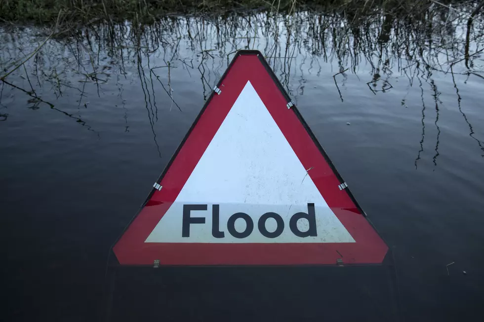
![Flash Flood Watch in Effect Until Tuesday Afternoon [VIDEO]](http://townsquare.media/site/530/files/2014/04/flood-watch.jpg?w=980&q=75)
Flash Flood Watch in Effect Until Tuesday Afternoon [VIDEO]
Periods of heavy rain will bring the potential for flooding across Central Alabama through tomorrow afternoon, and the National Weather Service in Birmingham has issued a Flash Flood Watch in effect until 1 p.m. Tuesday, April 15.
Widespread heavy rainfall of one to three inches is expected in the watch area with the potential for even higher amounts.
The accumulated rainfall from this system will be enough to aggravate some rivers and streams that are already running above normal. Some rivers are forecast to reach stages of minor flooding. Roadways in low-lying areas will likely flood, especially roads that are close to creeks and streams. Ponding of water will be likely in urban areas where poor drainage exists.
A Flash Flood Watch means that conditions may develop that could lead to flash flooding. Flash Flooding is a very serious situation. You should never attempt to drive through a flooded area.
ABC 33/40 Chief Meteorologist James Spann discusses the potential for Flash Flooding on the ABC 33/40 Weather Blog:
RAIN AND STORMS: Another wet Monday for Alabama. No, not as much rain as last Monday morning (thankfully), but average rain amounts of two inches are likely across North-Central Alabama, and the NWS has issued a flash flood watch for our part of the state. We do note the high resolution HRRR model, which performed very well during the last event, brings in some 4 inch rain totals near Tuscaloosa through this evening…
So, we expect the higher rain totals today west of I-65, and that is where we will find the greatest risk of flooding. Nothing like the flash flood emergency we dealt with last Monday morning in the Birmingham metro.
SEVERE WEATHER? The severe weather threat over the northern half of Alabama is marginal at best. The big rain mass this morning will make for a stable atmosphere, it remains to be seen if the air can recover for strong or severe storms this evening ahead of the surface boundary. Clearly the best chance of severe weather will come over the southern half of the state where parameters are better, but even there the low level jet looks pretty weak this evening.
Watch the latest Weather Xtreme Video from the ABC 33/40 Weather Team below.
**James and the ABC 33/40 Weather Crew will be at Academy Sports off Skyland Boulevard in Tuscaloosa Wednesday, April 16. James and his team will be on hand to assist in programming NOAA Weather Radios.**
More From 95.3 The Bear